Hughenden Valley Half Marathon
The Hughenden Valley Half Marathon is a trail race based at Hughenden Manor in Buckinghamshire, using woodland and rural paths around the manor and adjacent countryside. The course covers 21.1 km with roughly 450 m of ascent, running through parts of Naphill, Bradenham and Hughenden.
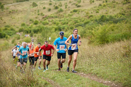
The route is mostly forest paths with undulation and a number of short climbs; organisers note there are not many long or steep climbs and rate this course easier than the Chiltern Ridge and Dunstable routes. The surface can be rough and uneven with occasional muddy sections, so trail running shoes are recommended.
Navigation is provided with orange arrow markers and ribbons, and marshals are positioned on course. Aid stations are located at approximately 7 km, 12 km and 17 km and provide water, coke, gels from Precision Fuel & Hydration and jelly babies. A downloadable GPX file and a runner's guide are available for participants.
Entries are priced at £32 or £30 for UKA affiliated runners. Runners must be at least 17 years old. The event holds a TRA license (No. 7445) and is run under UKA rules. Facilities at the event base include car parking, toilets and a cafe on the National Trust grounds, and High Wycombe train station is about a 25 minute walk away. Visit the organization's website for the most recent information.
Key Information
- Date: TBC
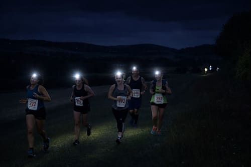
- Start Time: 09:00
- Start/Finish: Hughenden Manor, HP14 4LA
- Distance: 21.1km / 450m+
- Navigation: Arrow markers and orange ribbons
- Terrain: Trail
- Public Transport: High Wycombe Train Station - 25 minute walk
- Price: £32 (£30 UKA Affiliated)
- Minimum Age: 17
- Dogs permitted: No
- License: TRA License No. 7445 Race held under UKA rules.
Route Description
Set in the beautiful countryside surrounding Hughenden Manor, the course follows a mixture of woodland and rural trails.
The route explores parts of Naphill, Bradenham and Hughenden, with a large majority of the route flowing forest paths, with plenty of undulation, but not many long or steep climbs. We would rate this course easier than both the Chiltern Ridge and Dunstable routes.
The ground is rough and uneven, trail running shoes are recommended.
Aid stations
- Aid station 1: 7km
- Aid station 2: 12.5km
- Aid station 3: 16.6km
Route Navigation
This race will be fully marked, with our orange arrow markers and ribbons. Marshals will be out.